Directions
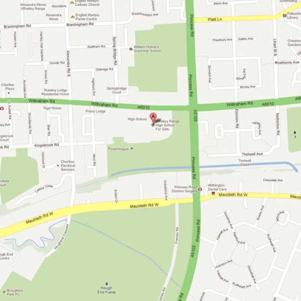
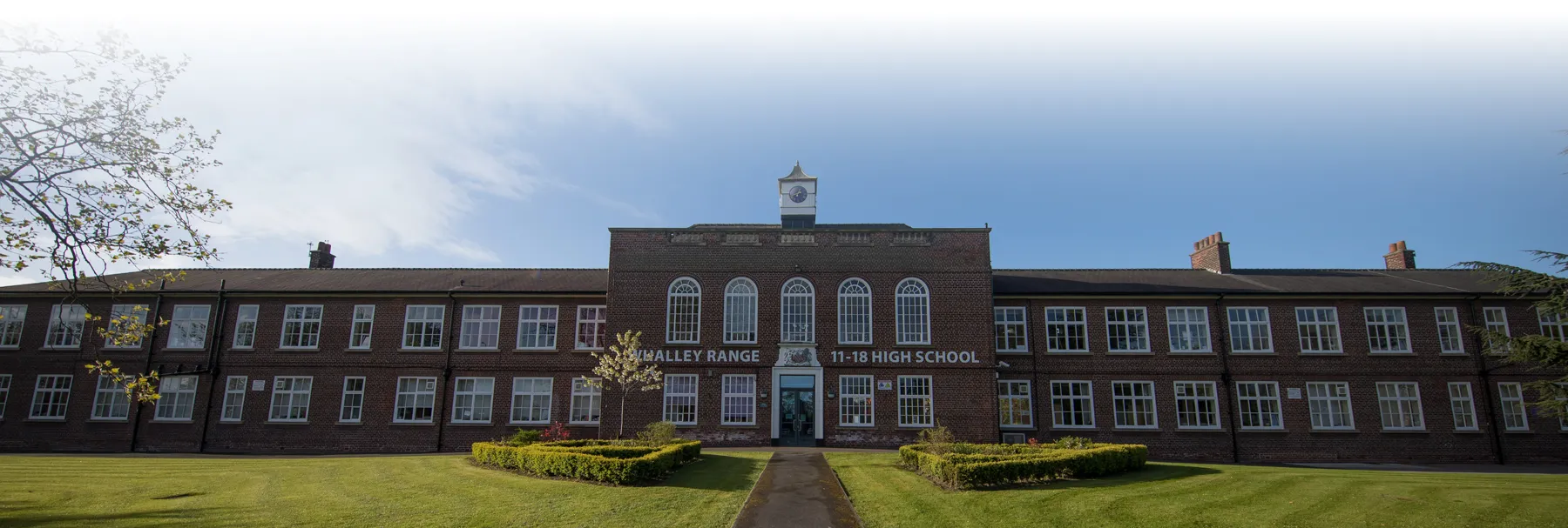
Directions to Whalley Range 11-18 High School and the Whalley Range Sixth Form College. The Main School and College share the same site, so directions are applicable to both.
Postcode (Sat Nav)
From the North
- Aim for the M60 then leave the motorway at J5, following the signs for Manchester City Centre (A5103 – known as ‘Princess Road’)
- Stay in the centre lane until you have crossed ‘Barlow Moor Road’ when you take the left-hand lane. When you reach the traffic lights at ‘Mauldeth Road’, be ready to take the next turn onto ‘Wilbraham Road’. Our school is immediately on your left. Look for the second entrance leading to the car park
From the South / West
- Aim for the M56 north bound and look for junction 3 where the road becomes the A5103 – ‘Princess Road’
- Stay in the centre lane until you have crossed ‘Barlow Moor Road’ when you take the left-hand lane. When you reach the traffic lights at ‘Mauldeth Road’, be ready to take the next turn onto ‘Wilbraham Road’. Our school is immediately on your left. Look for the second entrance leading to the car park
From the East
- Aim for the M60 then leave the motorway at J5, following the signs for Mancester City Centre (A5103 – ‘Princess Road’)
- Stay in the centre lane until you have crossed ‘Barlow Moor Road’ when you take the left-hand lane. When you reach the traffic lights at ‘Mauldeth Road’, be ready to take the next turn onto ‘Wilbraham Road’. Our school is immediately on your left. Look for the second entrance leading to the car park
Public Transport
- We are just a 15/20 minute walk away from Chorlton Metrolink Station
- A good website to use for public transport is the Traveline Journey Planner, which includes bus, rail, and metro links
- Princess Road (A5103) is the main road travelling down from Manchester to our school


